The maximum zoom level must now be used when adding poly lines or markers on a map. This will provide for more accurate marking of excavations. |
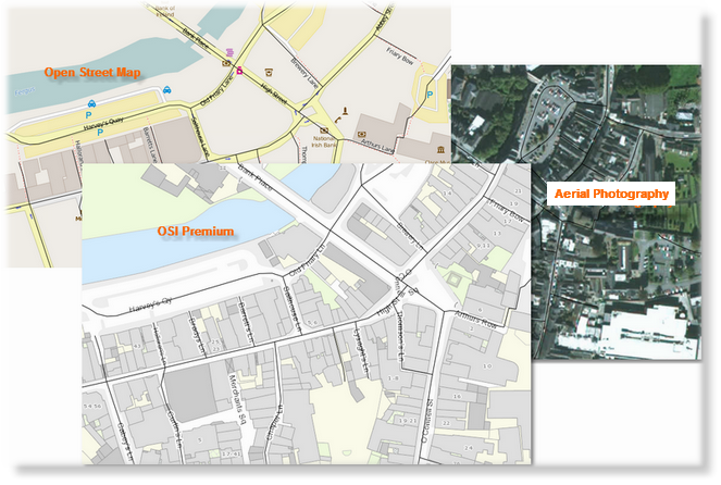
The map can be viewed using either the OSI Premium, Open Street Map or OSI Aerial Photography.
|
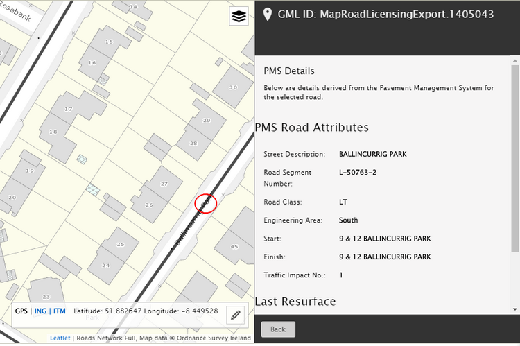
The road network is overlaid on the base map. Selecting a road will bring up the Pavement Management System road information.
|
A new line tool has been added for drawing trench lines and polygons. |